Tokyo Stroll Supplement: Hamura Shi
This page is for locations in the city of Hamura of Tokyo. This city is not part of my book Tokyo Stroll.
For information on Tokyo Stroll and this web supplement see Tokyo Stroll Supplement home page
For users of the Organic Maps, Maps.Me and Google Maps apps the items below have bookmarks you can import into those apps to make navigation easier.
Instructions and links are on the Viewing Locations in Organic Maps, Maps.Me, Google Maps, or Google Earth page.
Some entries on this page may include a note that says "Description to be added soon ." These entries are for items I felt should be listed even if the description is not ready to assist those who wish to plan a trip. When possible I included a link to an official web page, I suggest also doing web searchs for more information.
Hamura Shi (羽村市)
Originally formed during the Meiji Period by the merger of local hamlets into the village of Nishitama. In 1956 it was renamed Hamura. Part of the city spans the Tamagawa almost all of it is flat on the Musashino Plateau. The 43 km (26.7 mile) long Tamagawa Aqueduct, constructed in the Edo Period, begins in Hamura. A very small portion of the city on the south east lies within the Yokota Air Base. The only rail line in Hamura is the Ōme Line with two stations, however the Hachikō Line has a couple of nearby stations in adjacent cities.
Official pages for each of the cities and towns of will have sections of interest to visitors. These will likely be labeled as dealing with culture, tourism, or events.
Hamura official site: https://www.city.hamura.tokyo.jp
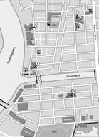
Statues of the Tamagawa Brothers (玉川兄弟の像)
Description to be added soon
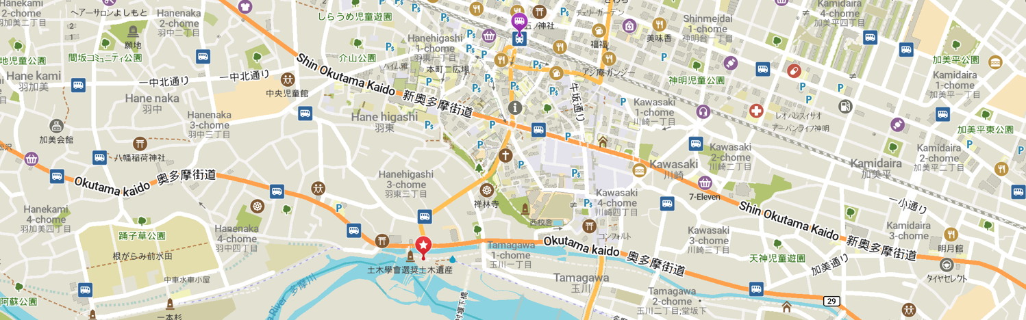
NEAREST TRAIN STATION: Hamura (Ōme Line)
Back to the Tokyo Stroll Supplement home page - Privacy Notice - Back to Gilles' home page
Created August 3, 2025 | Content last updated August 3, 2025